Category: Local Project Listing 2021

Read more

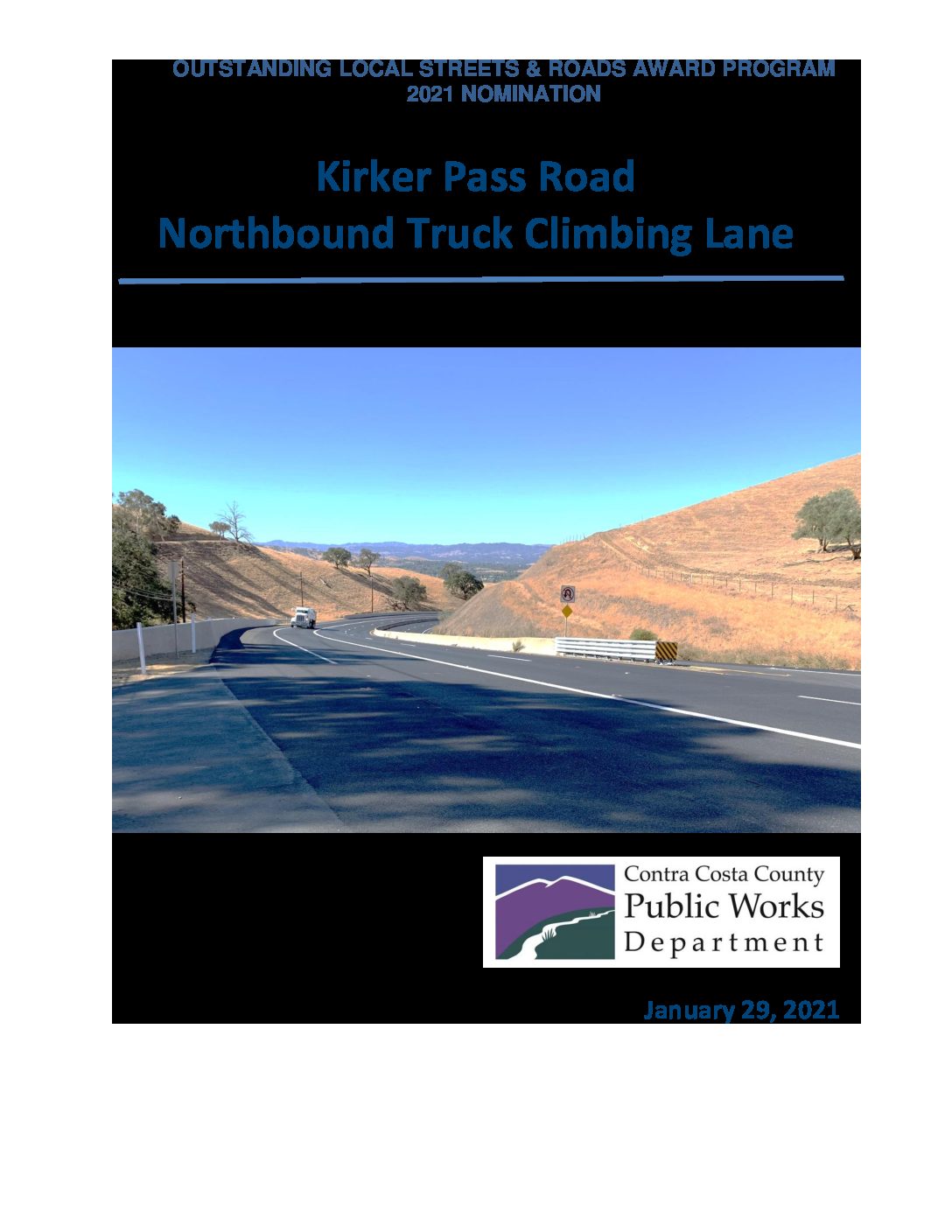
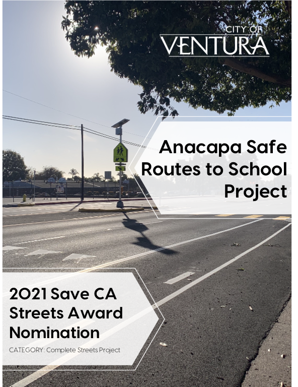
Anacapa Safe Routes to School

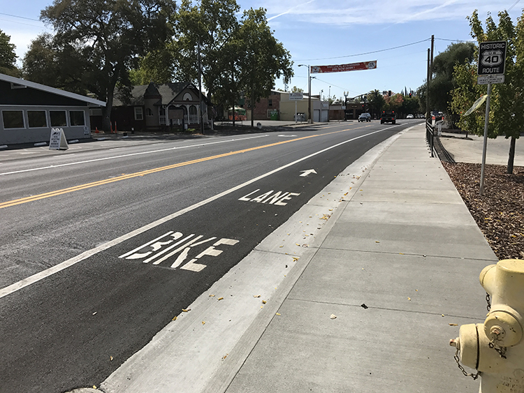
Location Telegraph Road between Mills Road and Ashwood Street City or County Responsible for Project Ventura City Category Complete Streets Projects Author Jeff Hereford Organization City of Ventura Public Works Address 501 Poli Street, Room 120, Ventura CA 93001 Phone 805-654-7744 Project Description Nestled along a busy corridor in the coastal town of Ventura, California lies a middle school named after Anacapa Island of nearby Channel Islands National Park. Anacapa Middle School serves grades six through eight for families living in the midtown area and with Ventura Community College located just a mile away on Telegraph Road, these improvements provided a critical to the nearby Ventura Transit Center. Prior to 2020, Telegraph Road between Ashwood Avenue and Mills Road was an incomplete maze of sidewalks, curb, and gutter, as well as patches of incomplete bike lanes. Furthermore, Ventura Unified School District began to express concern over the lack of walkable […]

Read more

Kirker Pass Road Northbound Truck Climbing Lane

Location Kirker Pass Road City or County Responsible for Project Contra Costa County Category Safety or Intelligent Transportation System Projects Author Jenna Caldwell Organization Contra Costa County Public Works Department Address 255 Glacier Drive, Martinez 94553 Phone (925) 500-3048 Project Description Kirker Pass Road is an interregional route between Central and East Contra Costa County that serves as an essential route for approximately 20,000 vehicles a day, including 1,200 trucks. Due to the mountainous terrain with sustained grades greater than 10%, in conjunction with the high passenger vehicle and truck traffic, significant traffic congestion occurred during peak hours. The Kirker Pass Road Northbound Truck Climbing Lane project dramatically increases safety and reduces congestion along Kirker Pass Road by constructing a truck climbing lane in the northbound direction. To better serve the users of this road, this truck lane provides a dedicated lane for the slower, heavier truck traffic to climb […]

Read more

Building Better Road Program

Location San Diego County Region City or County Responsible for Project County of San Diego Category Roads: Efficient and Sustainable Road Maintenance, Construction and Reconstruction Projects. Author Keith Kezer Organization County of S5500 Overland Ave., Suite 320, San Diego, Ca 92123an Diego Address 5500 Overland Ave., Suite 320, San Diego, Ca 92123 Phone 858-694-3013 Project Description The County of San Diego’s Building Better Roads program was established as a collaborative effort between local stakeholders including cities, agencies, private industries, and industry associations to identify innovative, cost-effective, and sustainable pavement preservation treatments that can be easily and efficiently implemented throughout the state. The Building Better Roads Working Group has become the centerpiece of this program by including a diverse set of representatives from the County, Caltrans, San Diego Association of Governments, local cities, and private industries and associations. The goals of the Working Group are to bring together the extensive knowledge, […]

Read more

Loomis Town Center Implementation Plan Phase 3

Location Taylor Road City or County Responsible for Project Town of Loomis Category Complete Streets Projects Author Sean Rabe Organization Town of Loomis Address 3665 Taylor Road, Loomis, CA 95650 Phone (916) 652-1840 Project Description The Town of Loomis initiated this project to support a walkable, pedestrian-friendly downtown, improve pedestrian accessibility and roadway quality. The project also supports positive impacts to the local economy and the community while preserving historic Route 40. Improvements included roadway, streetscape, landscaping, and drainage. Construction sites were evaluated to determine potentially significant environmental impacts; prepared CEQA/NEPA documents and obtained permits for the project; as well as prepared all Caltrans Local Assistance Procedures Manual to obtain the E-76. Collaboration included coordination with Caltrans local assistance and Placer County Transportation Agency for funding. Funding sources came from the Regional Surface Transportation Program, a federal Congestion Mitigation and Air Quality grant and state money from SB1 Road Maintenance […]

Read more

The Antioch Cape Seal 2020 Project (P.W. 392-31)

Location 120 residential streets in Antioch, CA City or County Responsible for Project City of Antioch Author Junming Li Organization Public Works, City of Antioch Address 200 H St, Antioch, CA 9459 Phone 925-779-7025 Project Description Over the last few years, the City of Antioch has been leveraging Measure J Funds and a CalRecycle Grant to provide cost-effective pavement preservation treatments to extend deteriorating roads’ life expectancy. In response to The Globe Warming Solutions Act (AB32) and due to limited budget, the City has developed a sustainable approach to (1) focuses on preserving roads in fair condition; (2) using recycled materials in pavement treatments; and (3) push the project out to bid at slow construction seasons for competitive bids. Our Pavement Preservation Project completed in August 2020, showcases the benefits when properly applying this cost-effective and sustainable approach. Pavement condition of over 120 residential streets (totaling approximately 470,000 square yards […]

Read more

Rio Linda Boulevard Bridge Replacement and Main Avenue Realignment Project

Location Rio Linda Boulevard and Main Avenue Intersection City or County Responsible for Project City of Sacramento Category Bridge: Efficient and Sustainable Bridge Maintenance, Construction and Reconstruction Projects Author Philip Vulliet, PE Organization City of Sacramento Address 915 I Street, Room 2000, Sacramento, CA 95814 Phone (916) 808-5092 Project Description The existing Rio Linda Boulevard Bridge over Magpie Creek, constructed in 1937, was a four-span reinforced concrete slab bridge carrying two travel lanes. The bridge was structurally deficient and functionally obsolete due to a lack of shoulders/bike lanes, sub-standard railing, and poor approach geometrics. Immediately north of the bridge was the all-way stop controlled Rio Linda Boulevard/Main Avenue intersection. This intersection had a large skew to avoid Magpie Creek. This skew restricted vehicle stopping sight distance and had poor visibility at night. The City of Sacramento (City) secured federal Highway Bridge Program (HBP) funds to replace the bridge on Rio […]

Read more

Bouquet Canyon Road

Location Unincorporated Angeles National Forest (between Elizabeth Lake Road and Spunky Canyon Road) City or County Responsible for Project Los Angeles County Category Roads: Efficient and Sustainable Road Maintenance, Construction and Reconstruction Projects. Author Hassan Alameddine Organization Los Angeles County Public Works Address 900 South Freemont Avenue, Alhambra, CA 91803 Phone 626-458-4911 Project Description Los Angeles County Public Works (Public Works) rehabilitated approximately 6.5 miles of Bouquet Canyon Road (Project) in 2020. Bouquet Canyon Road is a north-south two-lane major highway that connects the Santa Clarita Valley with communities in the Leona Valley and the Antelope Valley. In addition, it serves as an alternate route for commuters traveling along the SR-14 freeway and provides access to the Bouquet Reservoir and the Pacific Crest Trail. It is located within an unincorporated area of the Angeles National Forest and partially within the jurisdiction of the City of Palmdale, which also participated in […]

Read more

Second Street Streetscape Improvements Project

Location Second Street between Market Street and King Street City or County Responsible for Project San Francisco Category Complete Streets Projects Author Trent Tieger Organization San Francisco Public Works Address 49 South Van Ness Ave, 7th Floor, San Francisco, CA 94103 Phone 415-319-4637 Project Description Second Street rests in the heart of downtown San Francisco, connecting Oracle Park, home of the San Francisco Giants, to the bustling historic Market Street and Financial District. Once a hilly stretch of land, the city excavated and graded the street in the 1860s to ease the strain on horse transportation and create a more connected community. In 2012, the City began a comprehensive public engagement process with a community-driven approach to planning and began meeting with residents, merchants, and community groups to develop a plan for a safer Second Street. With a focus on pedestrian and traffic safety, improvements were identified and implemented along […]

Read more

Interstate 880 Northbound Safety and Operational Improvements at 23rd and 29th Avenues

Location I-880 at 23rd and 29th Avenues City or County Responsible for Project Alameda CTC Category Roads: Efficient and Sustainable Road Maintenance, Construction and Reconstruction Projects. Author Trinity Nguyen Organization Alameda CTC Address 1111 Broadway, Suite 800, Oakland CA 94607 Phone 510-208-7441 Project Description I-880 is a major corridor in California’s Bay Area region, connecting the Port of Oakland with Silicon Valley. High traffic volumes, nonstandard geometry, nonstandard interchange spacing and short weaving all contributed to the deficient flow of traffic and high accident rates in the vicinity of the 23rd Avenue and 29th Avenue interchanges. Major project stakeholders included the California Department of Transportation, Alameda County Transportation Commission and the City of Oakland. To improve safety and operations at the interchanges, a five-stage plan was executed that included: • Phase 1 o Safety improvements to the northbound on-ramp o Safety improvements to the freeway mainline o Soundwall installation in […]

Orange Grove Resurfacing Project – STPL-5064 (088)

Location Orange Grove Blvd – Lincoln Ave to Sierra Madre Villa City or County Responsible for Project City of Pasadena Category Roads: Efficient and Sustainable Road Maintenance, Construction and Reconstruction Projects. Author Frank Lujan Organization City of Pasadena Public Works Address 100 N Garfield Ave Pasadena CA 91101 Phone 6267443703 Project Description As an environmental steward, the City of Pasadena is aware of the need to Design and Construct Public Works projects with an environmentally responsible approach. Although, it is a challenge for Public Agencies to keep up with the demand for preservation to our roads, the City of Pasadena is constantly looking to implement more efficient ways to stretch the dollars. The City is looking to perform the right treatment at the right time, incorporate preventative maintenance treatments to preserve good pavement conditions, as well as implementing the use of creative pavement preservation applications, including the use of recycled […]

Account details will be confirmed via email.