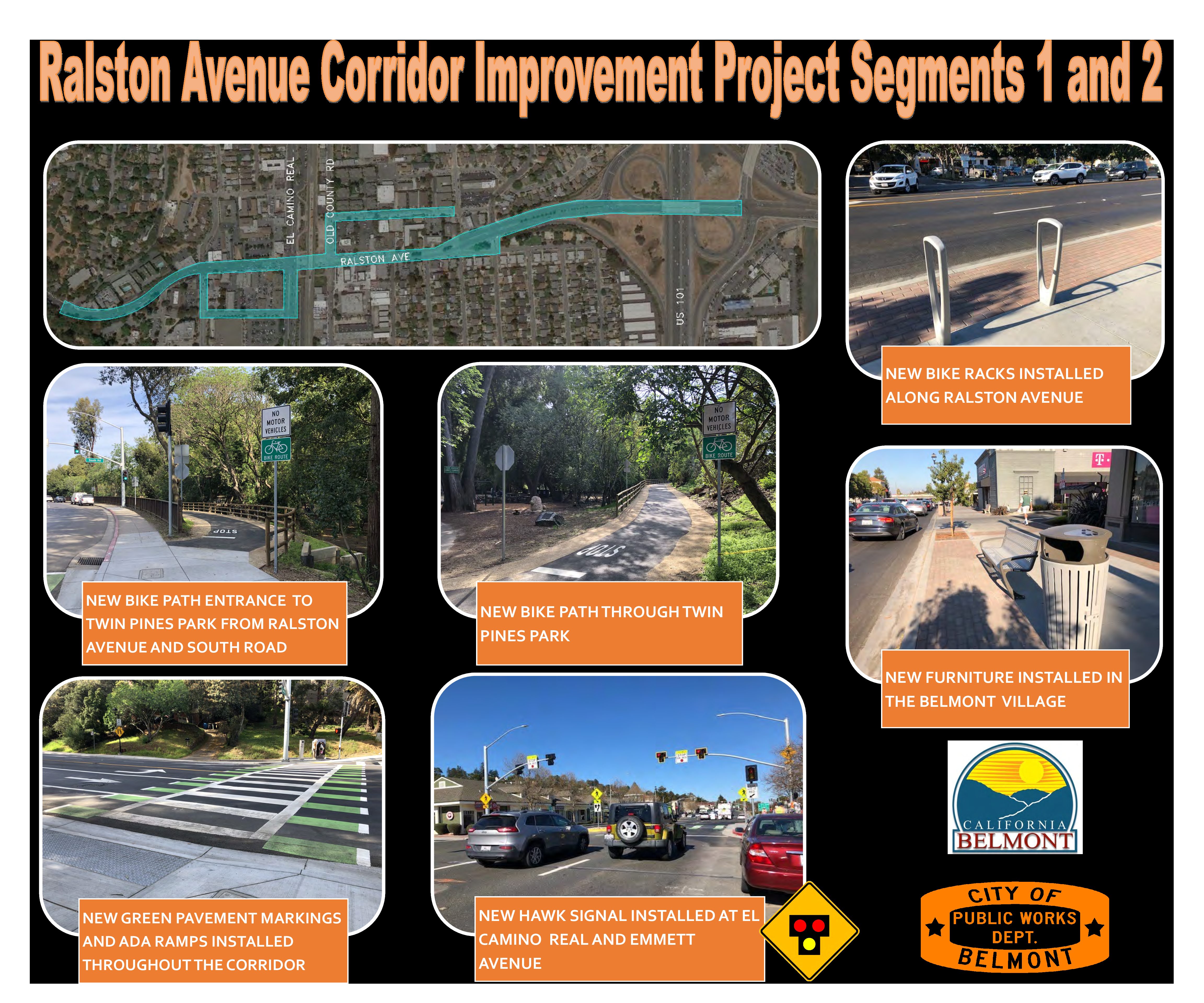
Ralston Avenue Corridor Improvement Project Segments 1 and 2
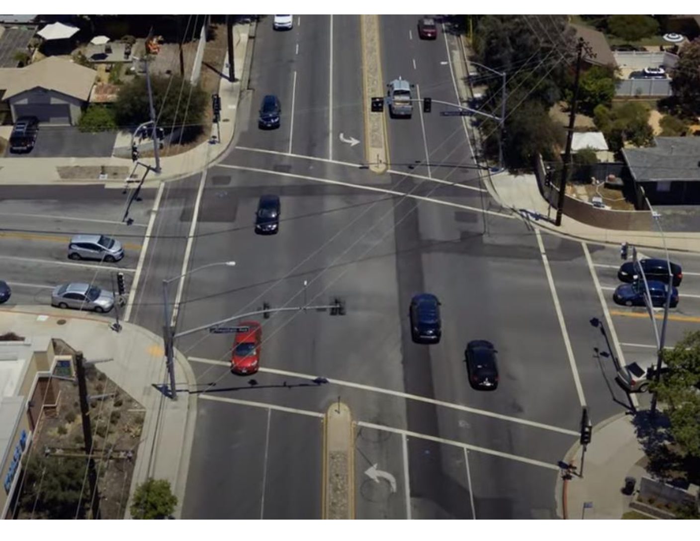
Location Ralston Avenue City or County Responsible for Project Belmont Category Complete Streets Projects Author Peter Brown Organization City of Belmont Address 1 Twin Pines Ln Phone 6505957459 Project Description The Ralston Avenue Corridor Improvement Project Segments 1 and 2 created more complete streets by improving bicycle and pedestrian facilities throughout the corridor while also rehabilitating pavement. These two segments focused on Ralston Avenue between Hiller Street and South Road, which passes through Belmont’s priority development area. Improvements were also done on connecting streets to make the downtown area more walkable and bikeable. Ralston Avenue is an arterial that connects to I-280 and US101 on either side of the City making it a major corridor. It carries a large volume of people through the City and has a number of high use activity centers. The improved streets create better access to schools, shops, Caltrain, SamTrans, and multiple parks. Coordination with […]