Westside Parkway/Thomas Roads Improvement Program

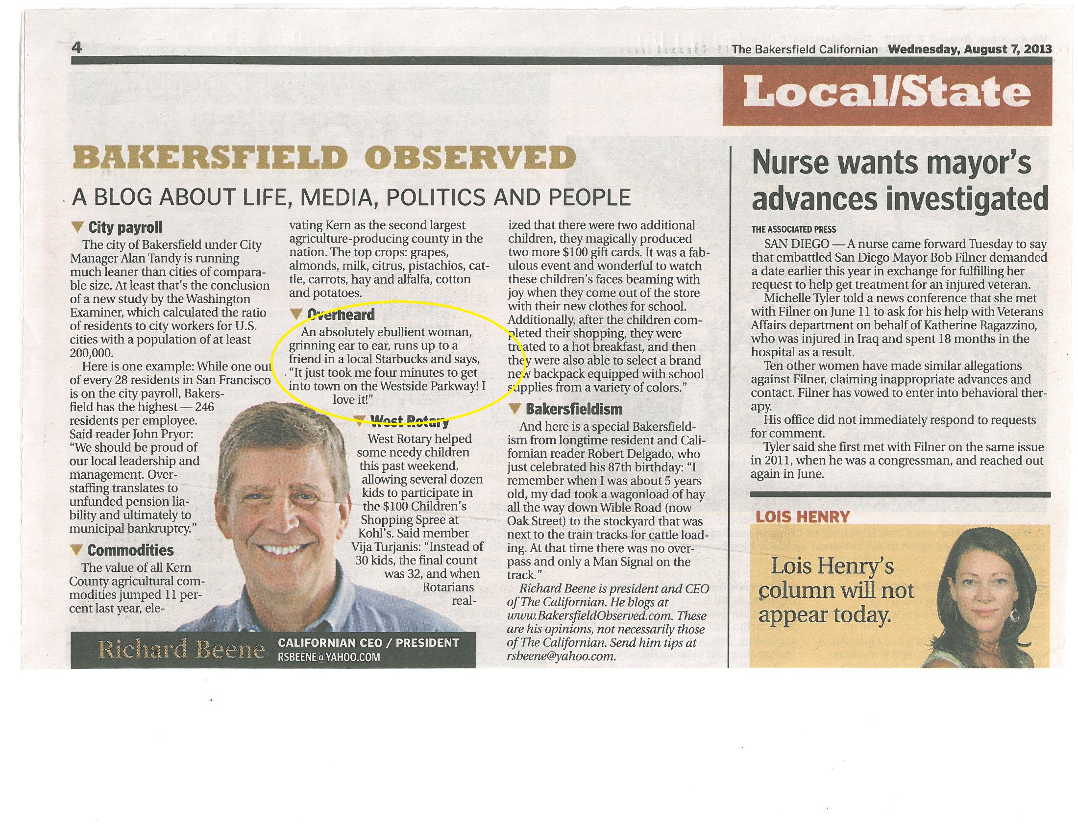
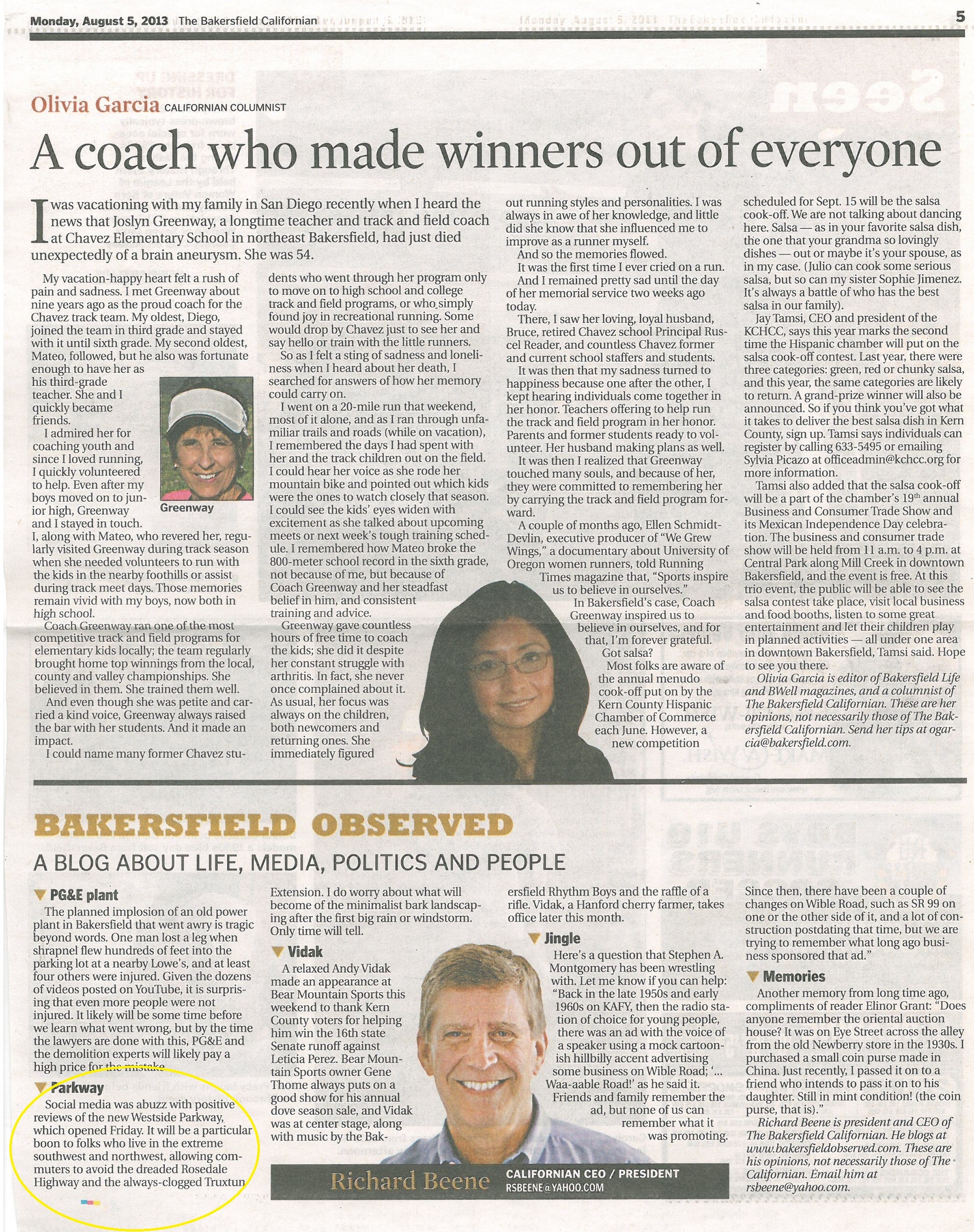
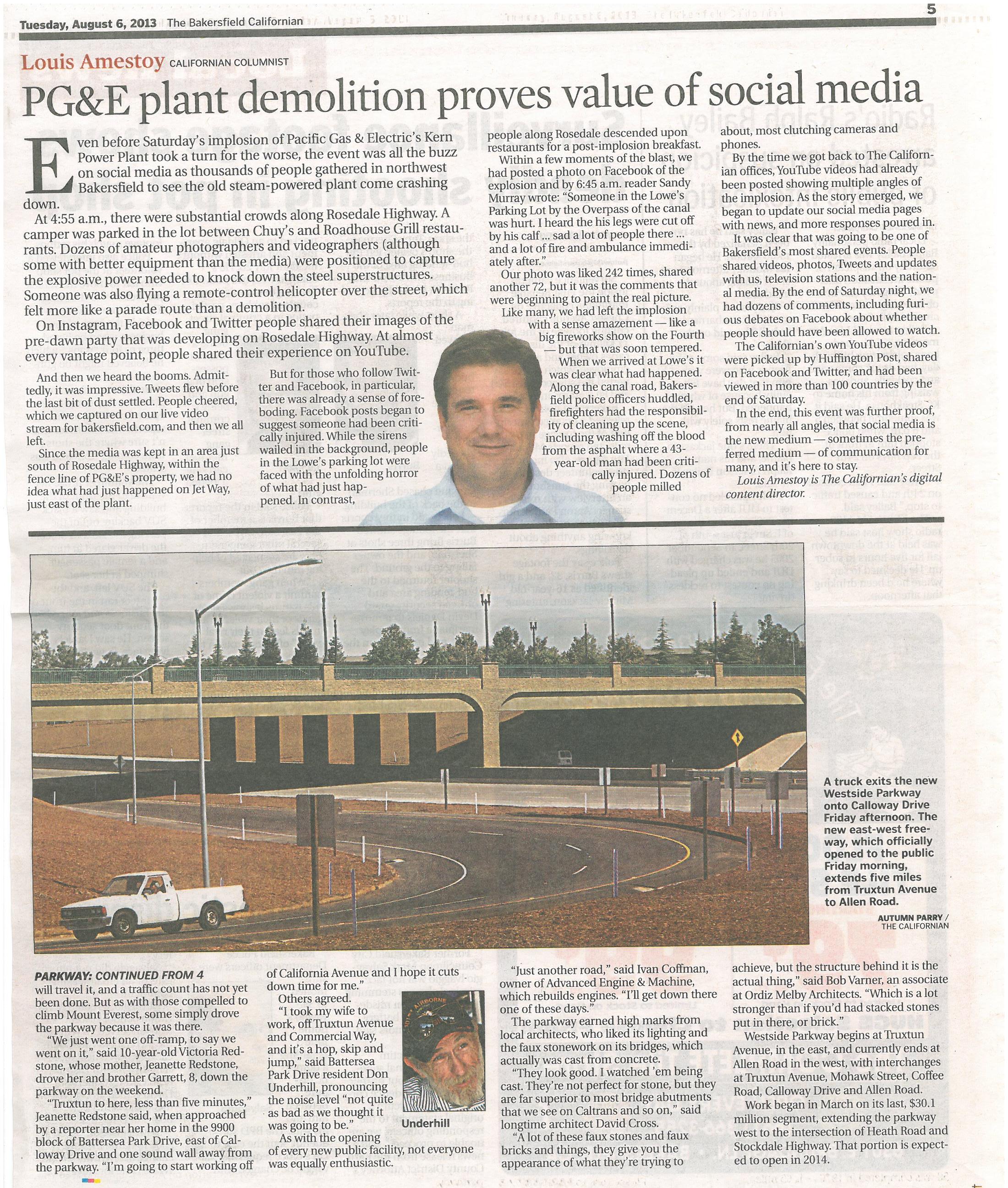
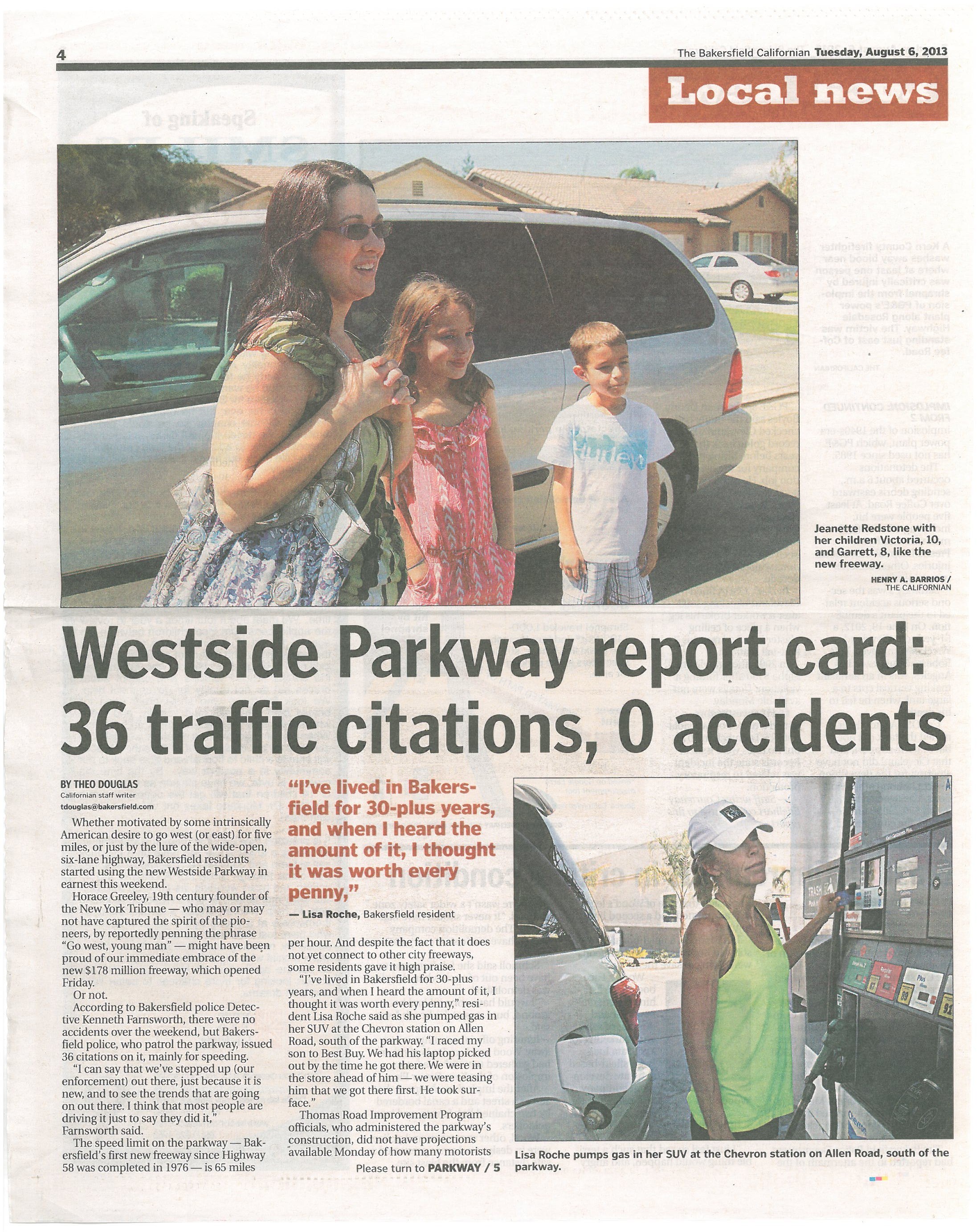
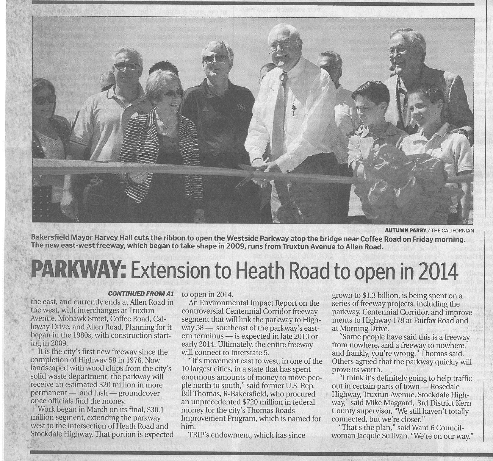
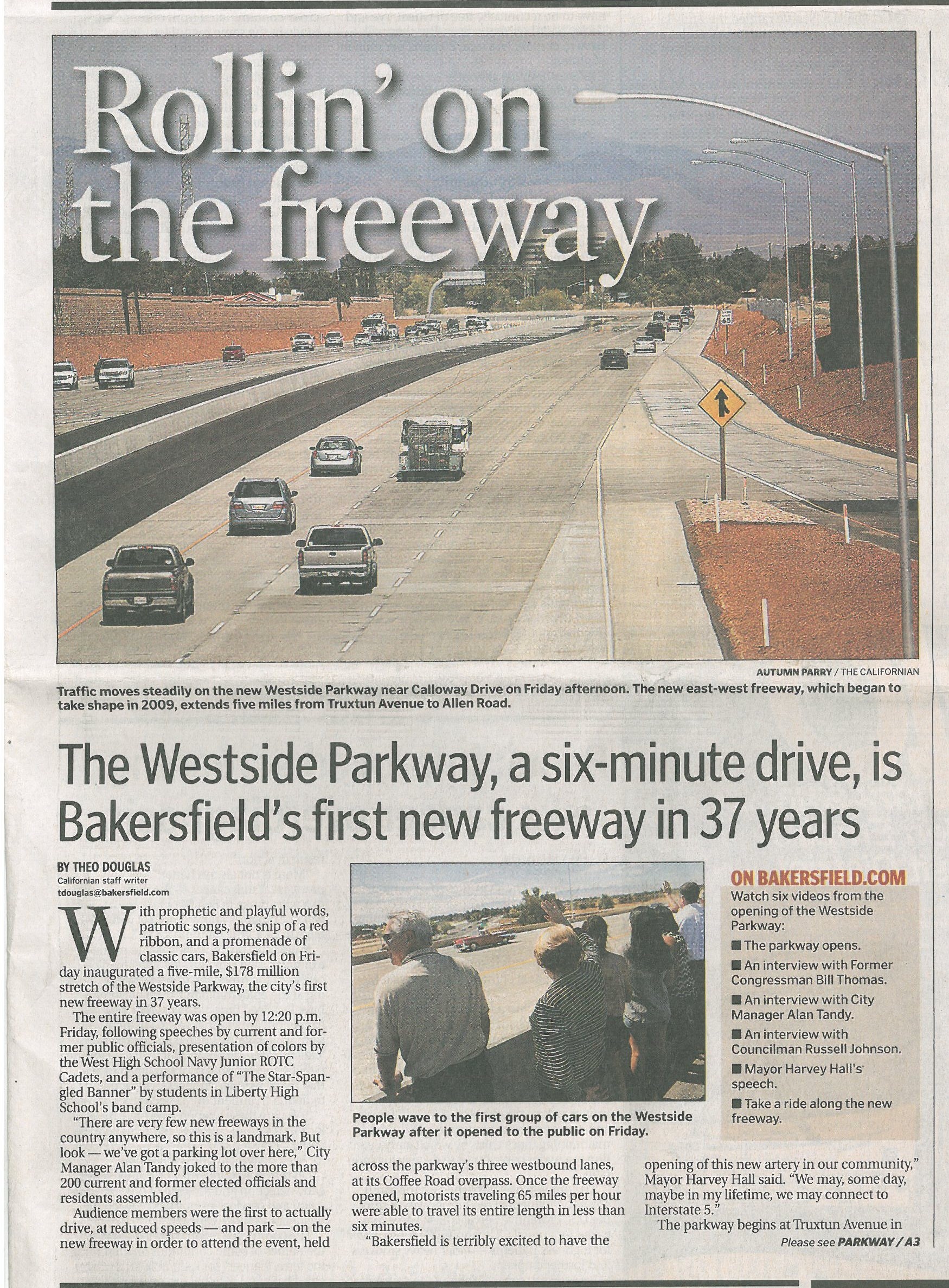
Westside Parkway, Bakersfield, CA The City of Bakersfield is the 9th largest city in California, but the local freeway system has remained static since the mid-1970s. Located at a crossroads for inter-regional travel, area freeways carry heavy truck volumes as well as commuter traffic, which spill over onto overburdened local streets. Many constraints have caused congestion and reduced the lifespan of local streets. SR-58 (a primary all-weather route across the Sierras) is offset at SR-99 and shares the alignment for two miles before transitioning to a four-lane, commercial/industrial corridor. The Kern River bisects Bakersfield, further limiting traffic movements. And while Bakersfield has primarily expanded westward, no access-controlled facilities served this area. Over the years, studies have identified several high-priority projects. In 2005, the City received federal funding that, with an investment of local matching funds, would construct this infrastructure. These projects are managed by the Thomas Roads Improvement Program (TRIP), a unique partnership between the City, Kern County, Caltrans and the Kern Council of Governments. The $200 million Westside Parkway – funded through State and local dollars – is the largest project completed to date. The Parkway includes a new arterial road across the river and seven miles of freeway. The first five miles opened in 2013 and moved 40,000 cars off congested streets, improving circulation and drive times throughout west Bakersfield. Though unusual for a city to construct freeway, the project will ultimately become part of State Route 58 when TRIP’s Centennial Corridor project is complete. Centennial Corridor, along with TRIP’s other projects, will improve the overall transportation network and reduce traffic on many more local streets, further improving community-wide circulation and air quality. The Westside Parkway was a complex project requiring creative solutions to address funding, high water flows in the river and canals; environmental concerns; railroad schedules; multiple utility relocations; and work along some of the busiest local streets. Examples are listed below: • Initial funding was for Phases 1 and 2, but in an effort to capture all available funding the City requested additional bid elements and advanced Phases 3 and 5, cutting two STIP cycles from the original timeline. • The City funded the Allen Road Bridge, eliminating an interim T-intersection, saving taxpayer dollars and eliminating future freeway closures. • Temporary bypasses carried traffic around two bridge construction sites. Where a bypass couldn’t be built, a parallel road was widened to accommodate additional traffic, and a temporary bike/pedestrian path was installed across the construction site. • Construction affected traffic on 10 arterials. To minimize disruptions, a significant amount of work was performed during nighttime hours when traffic counts were low. • To keep people informed, TRIP held a pre-construction community meeting, distributed more than 200 traffic advisories; and continually updated activity on the TRIP website. • Photos and video were taken of 300-plus properties prior to soundwall construction to ensure restoration to pre-existing conditions. Soundwalls were built first to minimize potential disturbances. Though there were numerous challenges, the Westside Parkway opened to great fanfare and continues to receive rave reviews by the motoring public.